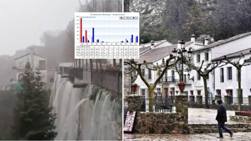
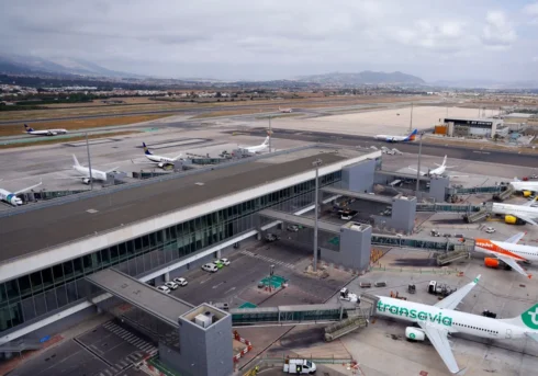
AS DANA rolls into Malaga, these are the towns most at risk from flooding during the red level alerts.
According to data from the Ministry for Ecological Transition and Demographic Changes, at least 206,971 people will be affected by the storms, some 12.1% of the local population.
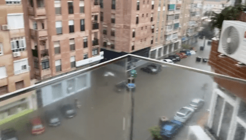
Photo: X
In Valencia, victims numbered around 325,000, or around 12.2% in the ‘ground zero.’
They categorise areas based on four different levels of flood probability, with the lowest being ‘low or exceptional.’
However, when DANA storms battered Valencia almost three weeks ago, many of these areas were in the lowest category, which describes areas which are severely flooded once every 500 years.
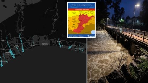
Now, Diario Sur has cross referenced this information with data from the Andalucian Statistics and Cartography Institute, to create a map of the areas most at risk.
Areas bordering the Guadalhorce River are most at risk Cartama, Pizarra, Alora and Churriana.
Malaga city is also lockdown as the River Guadalmedina threatens to overflow.
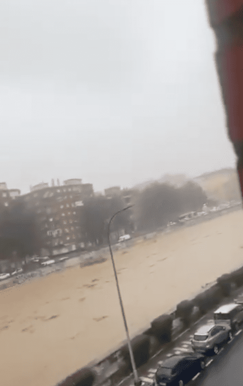
Photo: X
Nearby Fuengirola and Mijas are also on high alert as the River Fuengirola makes the area the second most vulnerable.
Similarly in danger is Velez-Malaga, where the River Velez poses a high risk to locals in El Capitan, Triana, Trapiche, Benamargosa and Los Vados.
Antequera is also affected, with fears that the River Guadalhorce may overflow between Villanueva del Rosario to Bobadilla.
Other inland areas such as Navahermosa and Campillas are exercising extreme caution.
According to the map, the risk of flooding descends as you move away from the Guadalhorce river towards Nerja.
On the other side of Malaga, the risk begins to go down after Fuengirola, though there are small areas of risk dotted all along the coastline particularly in San Pedro Alcantara and Guadalmina.
Click here to read more Malaga News from The Olive Press.


