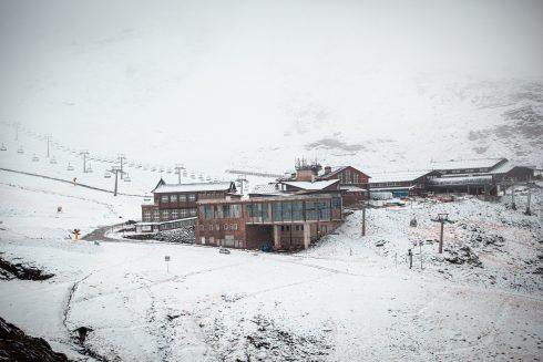
WINTER is finally coming to Spain as a so-called DANA weather front threatens to bring snow and rain to much of the country from tomorrow.
According to national weather agency AEMET, an isolated area of high depression will intensify over the Cantabrian Sea on Tuesday.
This will kickstart ‘an episode of snowfall’ in certain areas that will last until at least Thursday.
Meanwhile almost the entire country, including the Balearic Islands, will see rainfall.
READ MORE: Skiing on a budget? These are the cheapest slopes in Spain with passes from as low as €15
The heaviest snow will be seen in elevated areas in the south and south-east of the country and in central western areas.
Snow is also forecast in large areas of the north, although AEMET does not foresee ‘significant accumulations’.
The white stuff could fall at any level in the north and from 600 metres in central regions.
In the south it is expected to fall in areas more than 1,200m above sea level.
In terms of rain, things will begin to dry up on Thursday, with only the north and the Balearic Islands still expected to see rainfall on this day.

Meanwhile, heavy snow is expected on Thursday in the Ebro valley in the north east.
It will be noticeably colder across the country from tomorrow, with lows reaching up to -3C in the likes of Madrid.
Marbella will see lows of 9C this week, with the coasts and Guadalquivir valley avoiding the worst of the cold drop.
There will also be a brisk wind blowing in from the Ebro valley that will add to the feeling of cold.
The so-called DANA is expected to last until Friday, when a ‘warmer air mass will entry the country’, bringing a rise in temperatures.
Click here to read more Spain News from The Olive Press.


