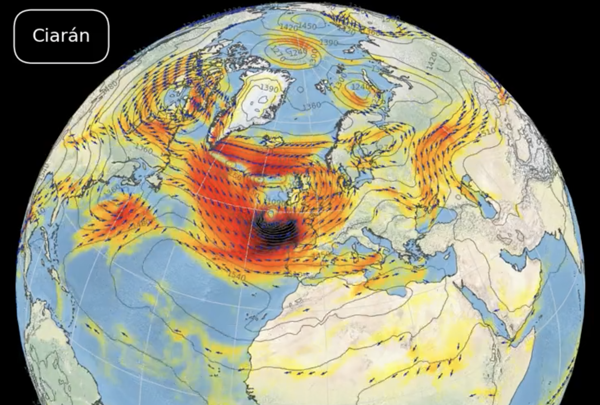
THE latest autumnal storm to menace Spain is set to make landfall tomorrow on All Saint’s Day, bringing with it strong winds and heavy rains.
Named by the UK Met Office, it is forecast to gather strength under a process known as ‘explosive cyclogenesis’ to become particularly intense.
Also known as a ‘weather bomb’, it is a meteorological term used to describe the rapid intensification of a low-pressure system or cyclone.
Aemet describes it as ‘a very deep storm, with very strong winds, sea storms and torrential rainfall.’
Strong winds will batter much of the peninsula, especially in the northern third, with gusts exceeding 100 kilometres per hour.
Heavy and persistent rain is expected in Galicia, Asturias, western Castilla and Leon, and mountainous areas in the north.
The central area, including Madrid, will see cloudy skies with rain and strong winds, more frequent in the mountains, where snowfall is expected at 1,000 metres and above.
Originating in the North Atlantic, Storm Ciaran is initially set to hit the UK and the French coast, with Spain feeling the effects during the public holiday tomorrow.
The storm will then barrel southwards and move in over the north-west regions of the country first.
Samuel Biener, a meteorologist from Meteored, described Ciarán as ‘a deep storm for this time of year.’
He attributed this unusual intensity to higher-than-usual temperatures in the Atlantic.
READ MORE:
- WATCH: Staggering and suffering bull in village festival in Spain’s Guadalajara outrages animal welfare groups
- Beach revival project almost finished but without promised promenade on Spain’s Costa Blanca
- Barcelona museum throws open its doors to naked visitors: Nudist club admires treasures in the buff
Click here to read more Weather News from The Olive Press.


