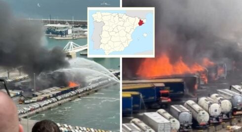
THE unprecedented hot weather for this time of the year has placed practically the whole of Spain at a very high level of fire risk.

Levels of fire risk in the Peninsula. Credit: AEMET.
With just one month since the beginning of spring the colours of the map of the Iberian Peninsula say it all: red predominates above the rest, and that means that the level of fire risk is ‘extreme,’ according to estimates by the State Met Office, AEMET.
The data corresponds to last Friday, April 21, and offer a panorama in which most of Castilla-La Mancha, the Community of Madrid, Extremadura, Castilla y León, La Rioja, Murcia, the Valencian Community, Andalucia, Aragon, Asturias, Cantabria and Navarra are tinged with an intense red.
The orange colour, which means ‘very high’ fire risk level, covers a large part of Navarra and Catalunya, and reaches, although to a lesser extent, Galicia and the Balearic Islands, meaning that all the autonomous communities – with the exception of the Canary Islands, which are not shown – have very high or extreme levels of fires, and the hot season has only just begun.
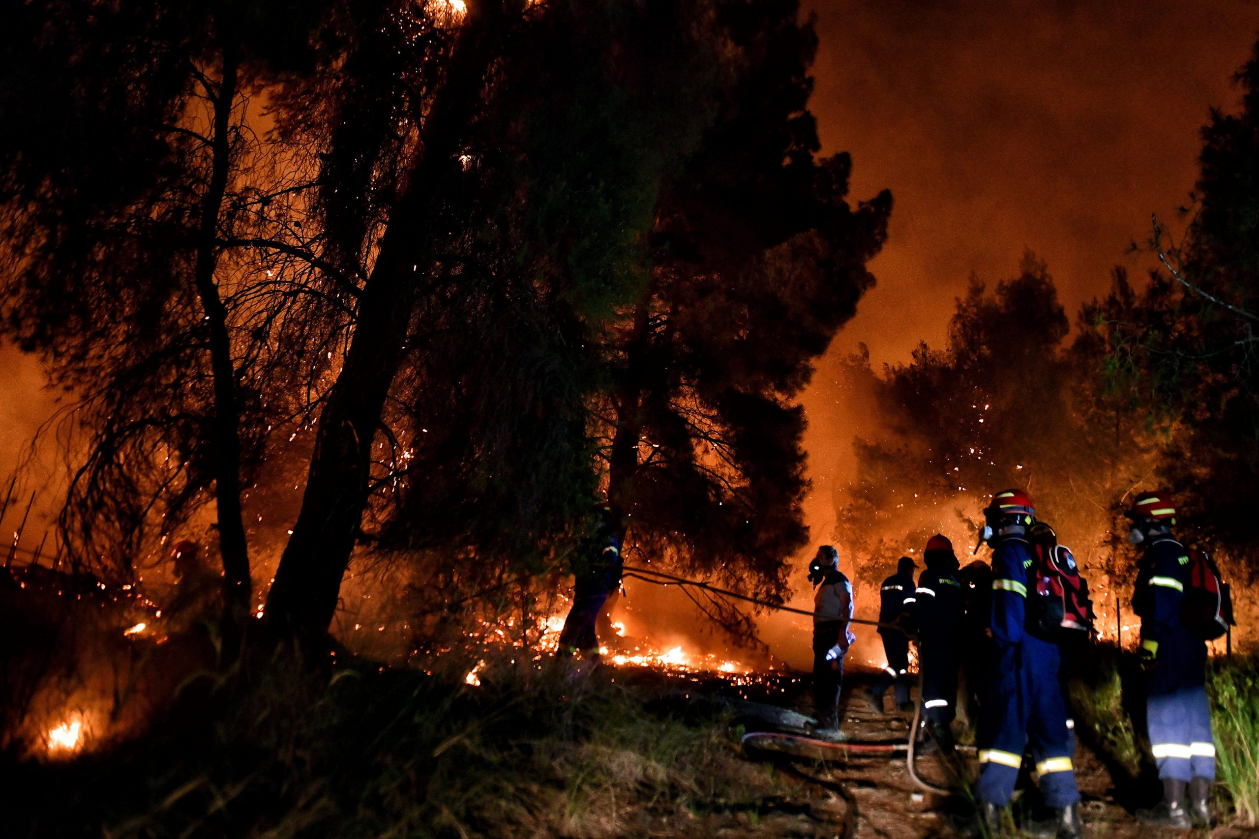
And the forest fire balance so far this year is severe, with 57,000 hectares already charred.
If 2022 was considered the worst year of the century in terms of fires -with more than 300,000 hectares burned-, in 2023 more than half of all the fires of the year have already been recorded.
The worst, so far, has been in Asturias and Castellon. According to the Government of the Principality, the wave of fires in March devastated 11,000 hectares in Asturias – although the EFFIS system estimates a total of 30,000 hectares burnt in this community in the first three months of the year – while the fire in Villanueva de Viver, a small village in Castellon bordering Teruel and Castellon, burnt more than 4,500 hectares.
READ MORE:
- Andalucia increases forest fire warning from low to medium half a month early
- Lighter winds bring hope to fighting six-day forest fire in Spain’s Castellon area
Click here to read more Other News from The Olive Press.