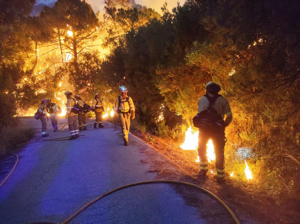
SOME 3,000 residents have so far been evacuated from their homes as firefighters battled against a wildfire raging across the hills above Estepona and Marbella on Spain’s Costa del Sol.
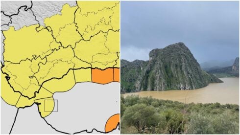
This map shows the wildfire zones in the forested hills above the coast and how close the blaze is to the town of Benahavis.
Photos show the air thick with smoke and ash encroaching on homes in the area below the wildfire which broke out on Wednesday afternoon.
Benahavís mayor, José Antonio Mena, said that between 2,500 and 3,000 residents left the main town, as well as more than a hundred people who were forced to leave the Montemayor, Marbella Club Golf and Benahavís Hills residential developments.
Rural properties in the areas around Júzcar and Pujerra were also at threat.
Strong winds on Thursday morning were preventing water-carrying aircraft from flying in to control the spread of the flames.
Footage shot by firefighters from Marbella show the forest floor smouldering as they drove through the zone.
During the night hundreds of residents were evacuated from the danger zone for fear the wildfire could reach their homes.
The fire is thought to have been started in La Resina, on land that once belonged to Colonel Gaddafi, where a project for 1,900 homes and a golf course had been proposed.
READ MORE:
- Military called in to help fight Pujerra forest fire in Spain’s Malaga—which has already seen three forest firefighters injured
- FIRE UPDATE: Hundreds face evacuation as Costa del Sol fire starts to take hold in nightmare 40kph winds
- Huge team battling forest fire blazing through Pujerra in hills above Spain’s Costa del Sol
Click here to read more News from The Olive Press.

