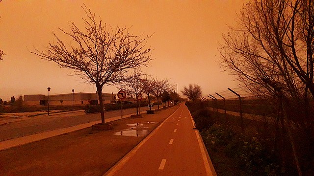
A NEW Atlantic front will bring occasional rain and more red sand to Malaga today, Tuesday April 12.
Spain’s weather agency AEMET has forecast that a new Atlantic front, associated with storm Evelyn, will cross mainland Spain, from west to east, today.
The front will bring rainfall, accompanied by occasional storms and the bothersome calima haze—with Saharan sand in suspension—to Andalucia this week, although it will do so with less intensity than in March.
AEMET points to very low levels of haze that will mainly reach the provinces of Almeria, Granada and Malaga.
The front will bring occasional rainfall, which in the east may be muddy due to southerly winds, however, the dust intrusion will be minimal and will not have the impact of previous storms, when some concentrations of Particulate Matter (PM10) reached record values in several areas.
Though the intensity of the calima won’t be as extreme on this occasion, there is expected to be a decrease in visibility and the clarity of the sky, and any precipitation throughout the day could leave some pesky red mud.
Daytime temperatures are also expected to drop in a generalised and locally notable way with the arrival of the front in the western half of the peninsula.
Winds from the south and southeast will predominate with very strong gusts in the mountains, specifically in the centre and north of the country.
READ MORE:
- IN PICS: ‘It looks like Armageddon’ – Costa del Sol turns orange yet again as another calima hits Spain
- Stained brown: Spain’s ‘white villages’ call for help to clear up after Sahara sandstorms


