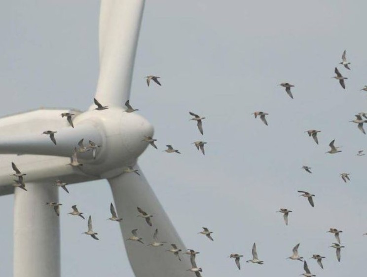
SCIENTISTS have tracked the migratory routes of hundreds of birds to highlight the areas in Europe and North Africa where they are at most risk of death from collisions with wind turbines and power lines.
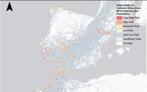
And it will come as little surprise to learn that Spain is among those countries studied with the most collision ‘hotspots’.
Researchers at the University of East Anglia produced a map revealing where birds are most in danger of coming into contact with turbines or power lines and discovered it was along migration routes, the coast and important breeding grounds.
The study used GPS data from 65 tracking studies of hundreds of migrating birds, mostly large soaring ones such as owls, storks, vultures and eagles.
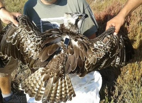
It worked out where they fly at ‘danger height’ established at between 15 and 135 metres above ground near wind turbines and between 10 to 60 metres above ground near power lines.
Those found to be most at risk were the Eurasian spoonbill, European eagle owl, whooper swan, Iberian imperial eagle and white stork as the fly consistently at heights where they risk colliding with infrastructure.
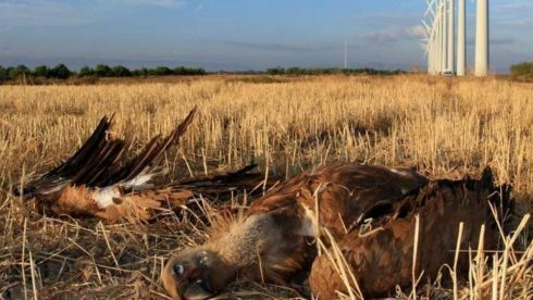
The study shows how much of Spain’s landscape through important migratory is already marred by huge wind turbine projects stretching north from Gibraltar in the exact flight routes taken by many of the most vulnerable species of birds.
In the last five years some 500 vultures have been killed after colliding with wind turbines in the region of Aragon alone.
But researchers believe the study can be used to determine the location of future power projects to ensure they are not constructed in ‘high sensitivity’ areas to minimise the impact on migratory birds.
“We know from previous research that there are many more suitable locations to build wind turbines than we need in order to meet our clean energy targets up to 2050,” explained lead author Jethro Gauld, a PhD researcher at UEA.
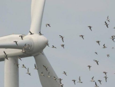
“If we can do a better job of assessing risks to biodiversity, such as collision risk for birds, into the planning process at an early stage we can help limit the impact of these developments on wildlife while still achieving our climate targets.
“Our results will help achieve this and in doing so provide better outcomes for people and wildlife.
“Our maps can also help target measures to reduce risks where previously built developments are already causing problems,” Gauld wrote in the study. “They highlight the areas where existing energy infrastructure is already providing a source of collision risk for these birds.”
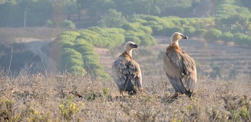
“It is therefore a key conservation priority for additional measures to reduce collision risk are implemented in these vulnerability hotspots.
“Such measures can include marking power lines to make them more visible and implementing systems to allow shutdown of wind turbines during periods of high bird traffic,” he said.
Across Europe onshore wind capacity is projected to grow nearly fourfold and power line capacity fivefold by 2050.
READ MORE:
- Wind of change: Two sides of the ecologist movement clash as Spain debates renewable energy
- Wind power overtakes nuclear as Spain’s main energy source
- Residents vow to stop mega solar park that will ruin environment and spoil views in most desirable corner of Spain
Click here to read more Environment News from The Olive Press.

