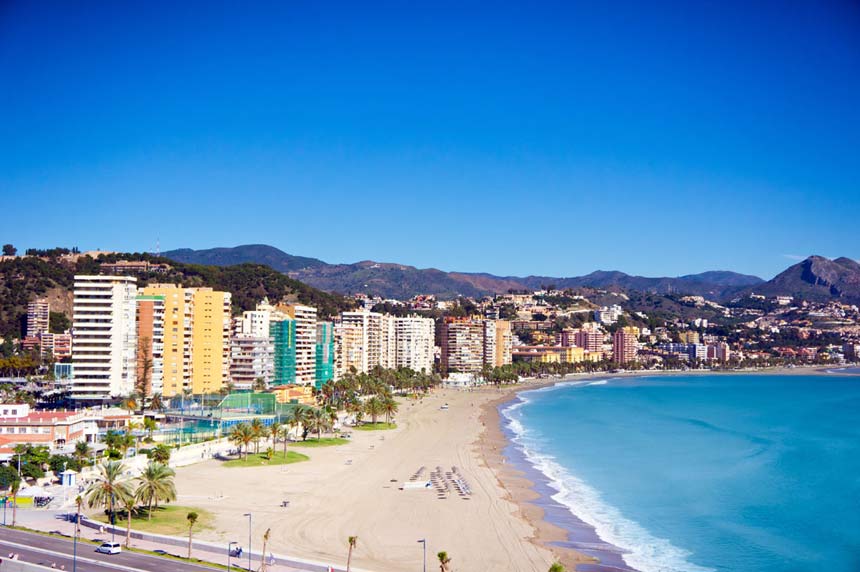
DOZENS of Spain’s most beautiful beaches are in danger of disappearing due to rising sea levels.
Hundreds of thousands of coastal homes could also be in danger by the end of the century, as a result of climate change, due to estimations by the Intergovernmental Panel on Climate Change (IPCC).
And, according to a new climate model, key cities such as Valencia, Cadiz and Huelva could lose large areas to rising seas.
One of the highest predicted rises will be in the Ebro Delta in Catalunya where predictions are as high as 8mm a year.

It comes as an alarming rise in temperature that is set to continue, according to NASA.
Since 2000 we have experienced 19 of the hottest years ever recorded, claimed the US space agency and the average global temperature is set to rise by almost two degrees within the next few decades.
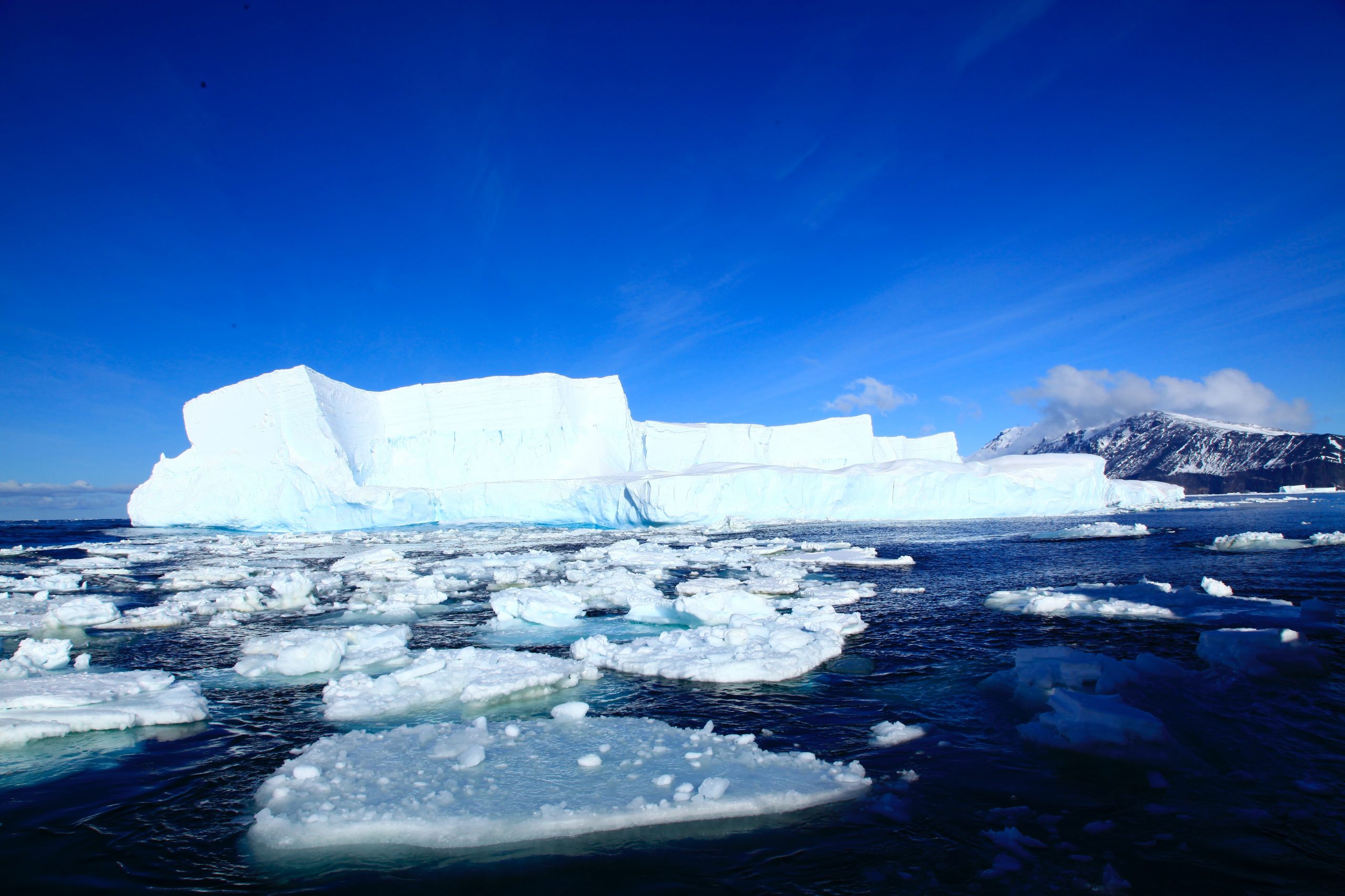
This is an enormous change, with much of the world’s ice and glaciers resting at zero degrees Celsius or just under.
The combination of ice melting near the poles and rising sea temperatures is causing sea levels to rise, putting the precious coastlines of Spain and the rest of the world at risk.

Since 1900 the global sea level has risen between 13cm and 20cm; while throughout the previous 2000 years, sea levels essentially didn’t change.
The rate of the rise is also steadily increasing: between 1900-1990 levels rose by around 1.3mm a year. But since 2000, according to the IPCC, the rate has been 3.6mm a year.
So by the end of the century estimates suggest a rise of between 29-59cm.
But what does this mean, and what will this do to the coastlines of Spain?
Well, huge swathes of land have already been lost to the sea around the world and Spain will also suffer.
The most extreme case is the island of St Kitts and Nevis, in the Carribean, which has lost more than a quarter of its landmass: it has lost 90 square kilometres (34.7 square miles) since 1961.
Ecuador has lost 10% of its land, amassing 28,800 square kilometres.
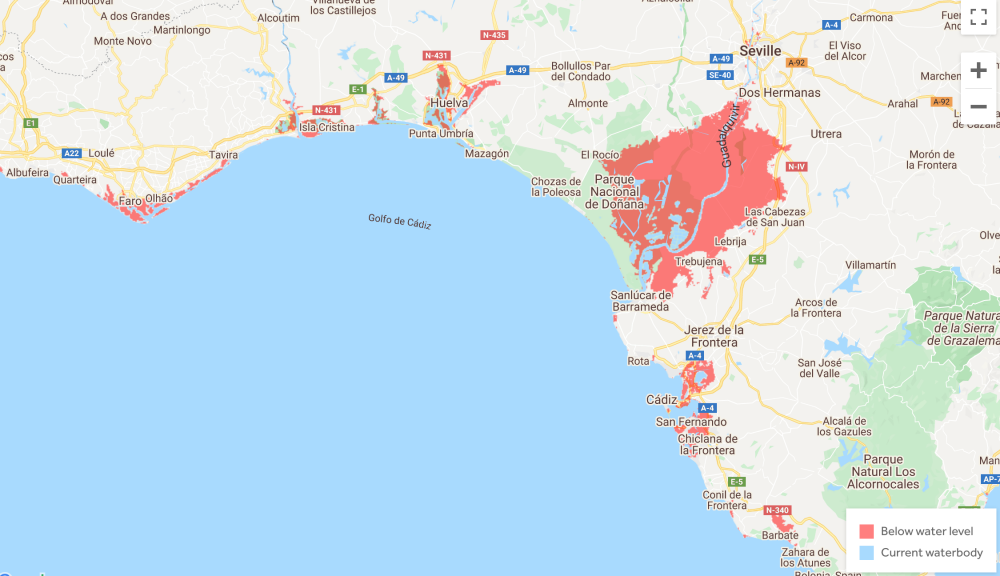
Climate Central has constructed a map detailing which parts of the world could be below sea level and even entirely submerged by 2100.

While the map does not factor in coastal defences and is speculative, it still provides a valuable outline of what the world might be facing, if things are not done about climate change.
The map indicates that much of the Spanish coastline and especially its bay towns could be devastated.
The stunning towns and beaches of Cadiz, Huelva and parts of Valencia, which are already struggling with rising sea levels, could be ruined.
A Coruña and Santander are both battling the sea and flooding issues, so they could be in danger too.
However the worst affected places will be The Ebro river delta and Doñana (The Mouth of the Guadalquivir that flows inland to Sevilla).
The sea is rising on average at a perilous 8mm a year in the Ebro delta, one of the fastest in the whole world, meaning that almost all the land could be lost.
Doñana is home to a breathtaking national park and is a UNESCO World Heritage site. Climate change is already endangering the paradise of flora and fauna, but this pales in comparison to the possibility of it disappearing for good under the waves.
READ ALSO:
- WARNING: Rising sea levels will put coasts of Spain’s Andalucia at risk of devastating floods EVERY YEAR from 2050…
- Spain’s climate change law is passed in Madrid to make country ‘carbon-neutral’ by 2050
- GOING GREEN as Spain’s politicians give thumbs up to radical climate bill


