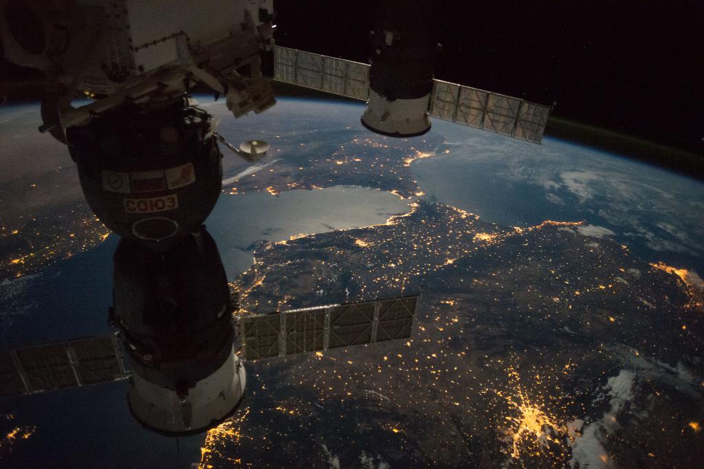
THE International Space Station has revealed its latest set of images to the public including some spectacular shots taken of the southern peninsula.
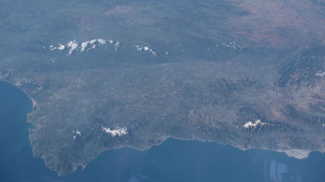
The stunning shots taken as the satellite swept across southern Europe show a snow scattered landscape, with the higher peaks still holding onto the last remaining snowfall that landed earlier this year.
The photos were taken on March 24 and since then have been shared across social media, with many embracing the unique angle in which the photos were taken.

“We are almost accustomed to photos taken from directly above, but none at such an angle that show the vast mountain ranges and valleys highlighted by the sun’s shadows,” said Nahum Méndez, a geologist at the University of Granada.
According to NASA, the photos were taken at 5.50pm, a fact that emphasises the detail in the photo as the sun sets towards the west.
In the photos, the Sierra Nevada area is clearly visable with its traditional winter white covering, as is Almeria’s ‘Sea of Plastic’.
The Montes de Malaga and the Sierra de las Nieves surrounding Ronda are also shown in high contrast jutting out of the greenery.
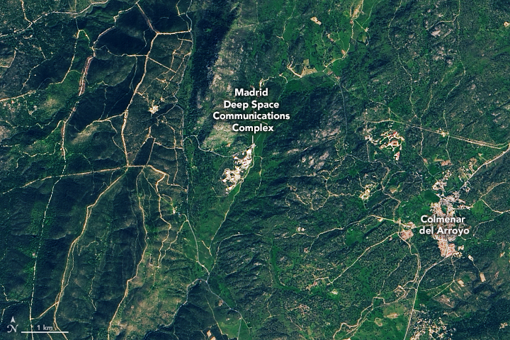
Spain has been on NASA’s radar for the past few weeks as the American Space Agency released the first photos of Madrid’s Deep Space Network (DSN) base.

Located 50 kilometres west of the capital in Robledo de Chavela, the array of antennas and dishes is part of a global network of bases that form a constant link between Earth and our orbiting satellites.
The detailed image, acquired by the Landsat 8 satellite some 1.6 billion kilometres above the Earth, show the site’s several large dishes and communication towers.
The site was specifically chosen as it was equidistant between Goldstone, California and Canberra, Australia.
Read More:
- Catalan government to spend €2.5m on NASA inspired space agency in Spain
- NASA images reveal ‘sea of plastic’


