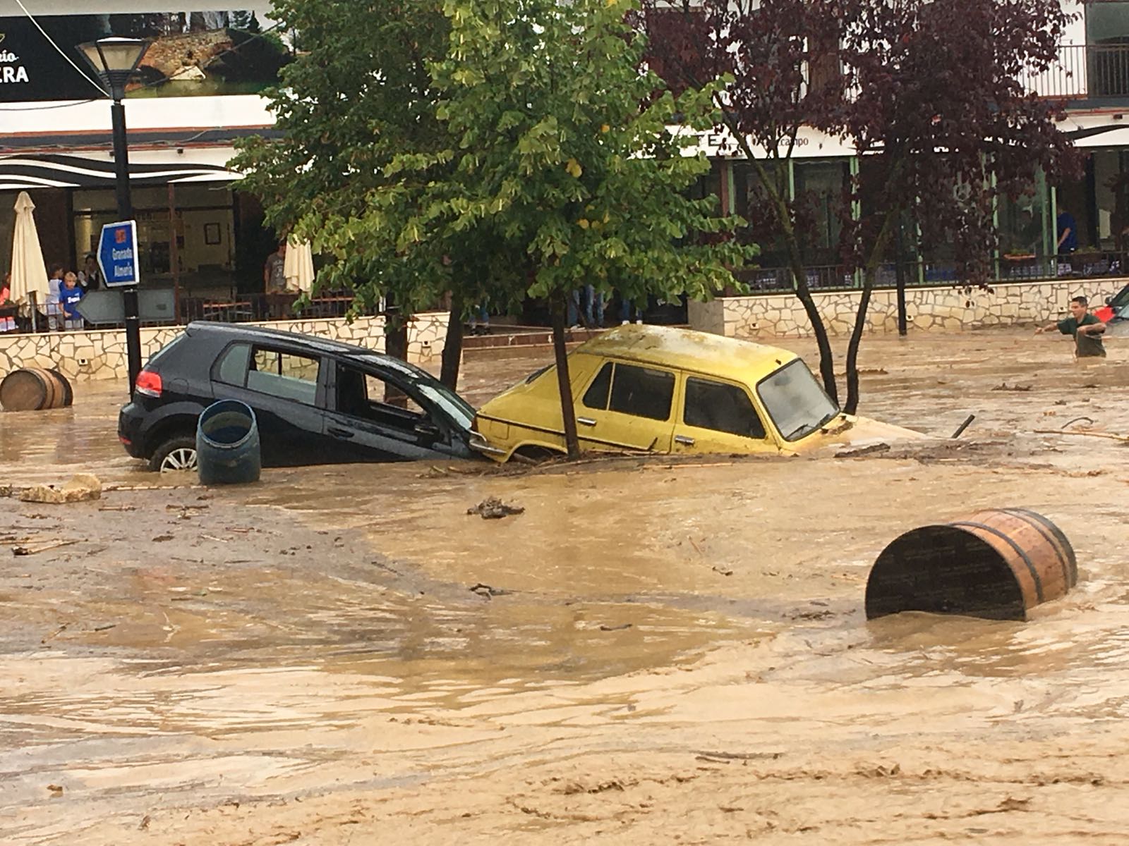
ANDALUCIA will be among the three regions most at risk of regular flooding by 2050.
It joins Murcia and the Ebro in Catalunya as the most likely to experience being completely flooded at least once year due to climate change and rising sea levels.
It comes after researchers from Climate Central spent three years studying the effects of rising seas due to climate change and human activity.
The new study, published in the Nature Communications journal, says the number of people at risk from flooding every single year from 2050 onward will be 300 million.
It’s a 400% increase from today, with Asia, the US and Australia among the most affected.
In Spain, apart from the Ebro Delta in Catalunya and the Mar Menor in Murcia, Andalucia will be the most affected region, particularly in the Lower Guadalquivir (Doñana) and along the coast of Cadiz and Huelva.

According to Climate Central’s new interactive map on the areas at greatest risk, in the province of Sevilla, the annual sea floods will almost reach the streets of the capital, affecting as far up as Coria del Rio and Sanlucar de Barrameda.
The floods from 2050 onward will also affect Isla Mayor, Pueblo Alfonso XIII, Choza de Huerta Tejada, Lebrija, El Cuervo, Las Cabezas and Los Palacios and Villafranca.
A large area of ??the Doñana National Park will also be impacted, particularly to the west.
In Cadiz, flooding will wreak havoc in Algeciras and Palmones, a good part of Barbate, the coastal area between Conil and Trafalgar and from El Puerto de Santa Maria to Sancti Petri.
Huelva will also see annual flooding as the Atlantic will flood the confluence of the Tinto and Odiel rivers.
It puts at risk Huelva capital and its surrounding areas, the Marismas del Odiel natural site, the mouth of the Piedras river and its Arrow (El Rompido), the areas around the Carreras estuary (Isla Cristina, La Redondela) and the mouth of the Guadiana river (Ayamonte).
Click here to read more Spain News from The Olive Press.


