TOWERING to almost 1000m the rugged massif of El Fuerte provides a stunning backdrop to the pretty village of Frigiliana, just inland from Nerja.
The mountain played a dramatic role in the region’s history at the time of the last Morisco uprisings.
The Moslems who stayed on after the Reconquest knew they were living on borrowed time yet were loathe to abandon this exquisite swathe of Al Andalus.
Taking refuge atop the rocky pinnacle of El Fuerte their last stand against de Zuarzo’s Christian troops is one of the most evocative incidents of the Morisco rebellion.
When you get to the top of this dramatic pinnacle of rock you’ll appreciate why they chose the mountain as a last refuge.
OVERVIEW
This is a relatively easy and emblematic walk, taking up to three hours. The path that leads up from Frigiliana is well marked and easy to follow even if you have some 650m of fairly steep climbing to negotiate. But the extraordinary panorama that awaits at the top more than justifies the effort. Returning by the same route is just as much of a treat: the vast viewsalong the way make this itinerary an absolute must-walk.
The Nitty Gritty
Starting point: La Plaza del Ingenio at the entrance to Frigiliana
Grade: Medium
Distance: 8.5kms
Time: 3hrs
Total Ascent/Descent: 730m
The Route

The walk begins in Frigiliana in the square at the entrance of the village, La Plaza del Ingenio next to a round hut containing a puppet theatre. From here head up the cobbled road beneath El Ingenio passing a row of ceramic plaques. Continue along Calle Real then opposite house no.9A cut right up a cobbled staircase at a sign Barrio Morisco-Mudéjar. At house no.13 pass beneath an arch then bear right at a sign Panoramicas. Reaching the fabulous Garden Restaurant the path divides. Carry straight ahead passing above the restaurant. After 100m the path narrows then loops steeply upwards. Reaching a tiled bench head straight on following a sign El Castillo. You pass several sculptures, the work of a resident ex-pat.
Zigzagging higher you will love the views across the village and east towards the Higuerón valley. Climbing through a swathe of young pines you pass a dilapidated mirador. Passing a second mirador you reach a bluff from where you’ll see a large water tank down to the left.

Cut left on a narrow path which zigzags down to a track (15mins) where, angling right, head past the water tank then cut right up a cobbled staircase that passes a mill then zigzags up to a pylon. Here bear left. After climbing steeply the path angles left into a group of pines, descends for a few metres, then resumes its ascent. The trees thin out as views open out towards the Mediterranean.
The path runs on towards the northwest, parallel to a ridge which is now to your right. Bearing right it climbs more steeply as views briefly open out to the north. Soon the path adopts its former course to the left of the ridge before passing an old calera (glossary) (55mins) then runs on towards the towering massif of El Fuerte.
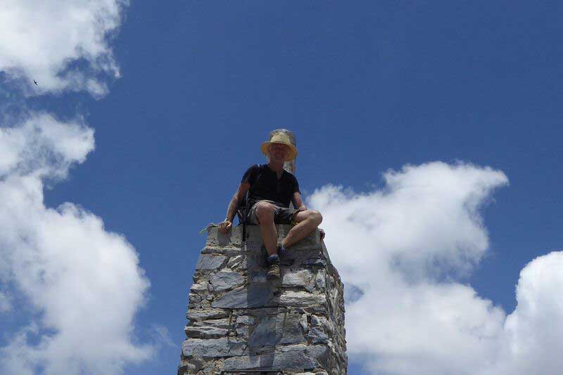
Passing through a breach in the rocks angle left then continue to the summit of El Fuerte (976m) where you reach a trig point and a sign Fin de Sendero (1hr 40 mins). Return by the same route back to the start point of the walk (3hrs).
This walk is among 36 others described in Guy Hunter-Watts’ Walking in Andalucía. Olive Press readers are entitled to a 25% discount on Guy’s celebrated book from January 15, via: http://www.cicerone.co.uk/product/detail.cfm/book/802/title/refer/olivepress
Click here to read more News from The Olive Press.


